
Monte Cassino topographic map
Interactive map
Click on the map to display elevation.
About this map
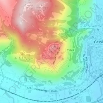
Name: Monte Cassino topographic map, elevation, terrain.
Location: Monte Cassino, Cassino, FR, Lazio, 03040, Italy (41.48990 13.81328 41.49000 13.81338)
Average elevation: 231 m
Minimum elevation: 31 m
Maximum elevation: 583 m