
Yangon topographic map
Interactive map
Click on the map to display elevation.
About this map
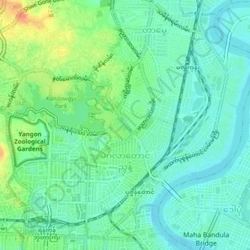
Name: Yangon topographic map, elevation, terrain.
Location: Mingala Taungnyunt, Southern District, Yangon, Myanmar (16.77908 96.15645 16.80874 96.19119)
Average elevation: 14 m
Minimum elevation: 0 m
Maximum elevation: 42 m
Other topographic maps
Click on a map to view its topography, its elevation and its terrain.