
Doha Port topographic map
Interactive map
Click on the map to display elevation.
About this map
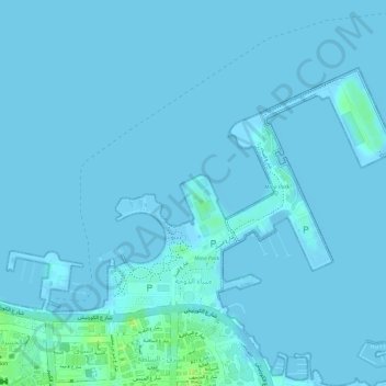
Name: Doha Port topographic map, elevation, terrain.
Location: Doha Port, Doha, Qatar (25.29097 51.53872 25.30855 51.56138)
Average elevation: 1 m
Minimum elevation: -2 m
Maximum elevation: 14 m
Other topographic maps
Click on a map to view its topography, its elevation and its terrain.