
Area C (Stuart Lake/Omineca Valley) topographic map
Interactive map
Click on the map to display elevation.
About this map
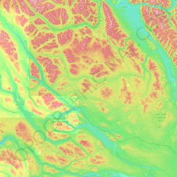
Name: Area C (Stuart Lake/Omineca Valley) topographic map, elevation, terrain.
Average elevation: 1,026 m
Minimum elevation: 645 m
Maximum elevation: 2,323 m