
Chorillos topographic map
Interactive map
Click on the map to display elevation.
About this map
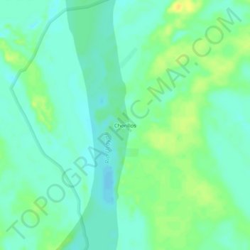
Name: Chorillos topographic map, elevation, terrain.
Location: Chorillos, Sarayacu, Ucayali, Loreto, Perú (-6.10988 -75.04206 -6.06988 -75.00206)
Average elevation: 116 m
Minimum elevation: 107 m
Maximum elevation: 129 m
Other topographic maps
Click on a map to view its topography, its elevation and its terrain.
Miguel Grau
Miguel Grau, Sarayacu, Ucayali, Loreto, Perú
Average elevation: 119 m