
Daraa topographic map
Interactive map
Click on the map to display elevation.
About this map
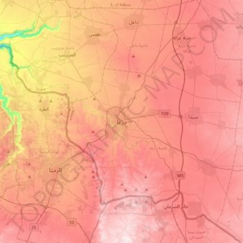
Name: Daraa topographic map, elevation, terrain.
Location: Daraa, Syria (32.46243 35.95097 32.78243 36.27097)
Average elevation: 546 m
Minimum elevation: 147 m
Maximum elevation: 756 m