
Kiawah Island Bass Pond D-3047 Dam topographic map
Interactive map
Click on the map to display elevation.
About this map
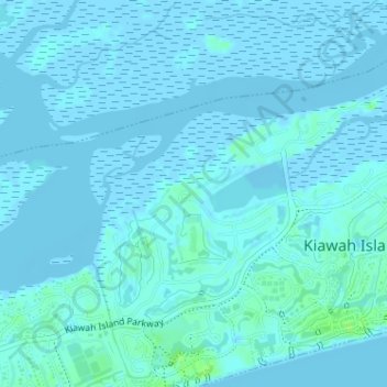
Name: Kiawah Island Bass Pond D-3047 Dam topographic map, elevation, terrain.
Average elevation: 1 m
Minimum elevation: -3 m
Maximum elevation: 10 m