
Tower topographic map
Interactive map
Click on the map to display elevation.
About this map
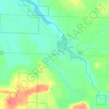
Name: Tower topographic map, elevation, terrain.
Location: Tower, Cheboygan County, Michigan, 49792, USA (45.33529 -84.32057 45.37529 -84.28057)
Average elevation: 232 m
Minimum elevation: 208 m
Maximum elevation: 274 m