
Saint Johns Island topographic map
Interactive map
Click on the map to display elevation.
About this map
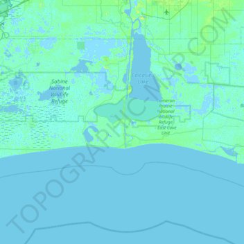
Name: Saint Johns Island topographic map, elevation, terrain.
Location: Saint Johns Island, Cameron Parish, Louisiana, 70631, USA (29.51244 -93.67627 30.15244 -93.03627)
Average elevation: 1 m
Minimum elevation: -6 m
Maximum elevation: 17 m
Other topographic maps
Click on a map to view its topography, its elevation and its terrain.