
Sixteen Mile Creek topographic map
Interactive map
Click on the map to display elevation.
About this map
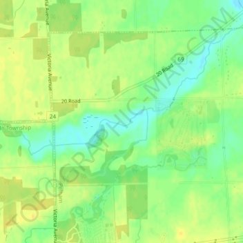
Name: Sixteen Mile Creek topographic map, elevation, terrain.
Location: Sixteen Mile Creek, Pelham, Niagara Region, Ontario, Canada (43.09421 -79.38283 43.09721 -79.37522)
Average elevation: 178 m
Minimum elevation: 164 m
Maximum elevation: 188 m
Other topographic maps
Click on a map to view its topography, its elevation and its terrain.