
Sierra del Caballo topographic map
Interactive map
Click on the map to display elevation.
About this map
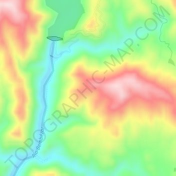
Name: Sierra del Caballo topographic map, elevation, terrain.
Location: Sierra del Caballo, Hornachuelos, Córdoba, Andalucía, España (37.88395 -5.21419 37.90395 -5.19419)
Average elevation: 230 m
Minimum elevation: 99 m
Maximum elevation: 393 m
Other topographic maps
Click on a map to view its topography, its elevation and its terrain.
Parque Natural Sierra de Hornachuelos
España > Andalucía > Hornachuelos
Parque Natural Sierra de Hornachuelos, PR-A 348, Hornachuelos, Córdoba, Andalucía, España
Average elevation: 367 m