
Cinsa topographic map
Interactive map
Click on the map to display elevation.
About this map
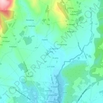
Name: Cinsa topographic map, elevation, terrain.
Location: Cinsa, Lugo, Galicia, 27417, España (42.54206 -7.56749 42.58206 -7.52749)
Average elevation: 356 m
Minimum elevation: 300 m
Maximum elevation: 575 m