
Joda topographic map
Interactive map
Click on the map to display elevation.
About this map
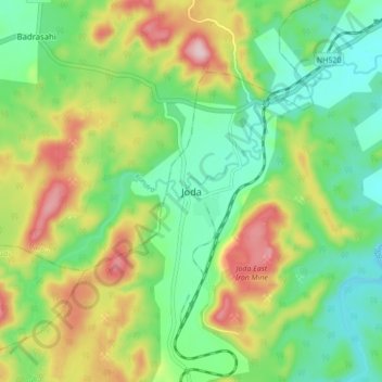
Name: Joda topographic map, elevation, terrain.
Location: Joda, Keonjhar, Kendujhar, Odisha, India (21.98463 85.38369 22.06463 85.46369)
Average elevation: 531 m
Minimum elevation: 426 m
Maximum elevation: 713 m