
Leusden topographic map
Interactive map
Click on the map to display elevation.
About this map
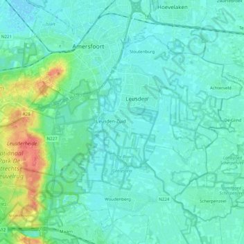
Name: Leusden topographic map, elevation, terrain.
Location: Leusden, Utrecht, Niederlande (52.08933 5.31092 52.14821 5.50770)
Average elevation: 9 m
Minimum elevation: -2 m
Maximum elevation: 54 m