
La Mazamorra topographic map
Interactive map
Click on the map to display elevation.
About this map
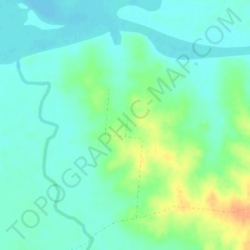
Name: La Mazamorra topographic map, elevation, terrain.
Location: La Mazamorra, Durazno, Uruguay (-32.52473 -55.54560 -32.50473 -55.52560)
Average elevation: 87 m
Minimum elevation: 76 m
Maximum elevation: 113 m