
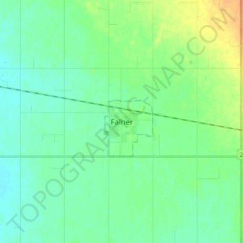
Falher topographic map
Interactive map
Click on the map to display elevation.
About this map
Name: Falher topographic map, elevation, terrain.
Location: Falher, Town of Falher, Alberta, T0H 1M0, Canada (55.69469 -117.24128 55.77469 -117.16128)
Average elevation: 582 m
Minimum elevation: 573 m
Maximum elevation: 603 m