
Oudkarspel topographic map
Interactive map
Click on the map to display elevation.
About this map
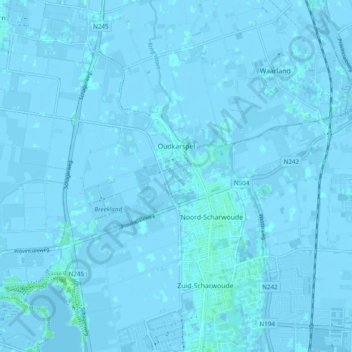
Name: Oudkarspel topographic map, elevation, terrain.
Location: Oudkarspel, Langedijk, Nordholland, Niederlande (52.68842 4.73681 52.73135 4.83377)
Average elevation: 0 m
Minimum elevation: -4 m
Maximum elevation: 5 m
Other topographic maps
Click on a map to view its topography, its elevation and its terrain.
Langedijk
Niederlande > Nordholland > Langedijk
Langedijk, Nordholland, Niederlande
Average elevation: 0 m