
Tarna topographic map
Interactive map
Click on the map to display elevation.
About this map
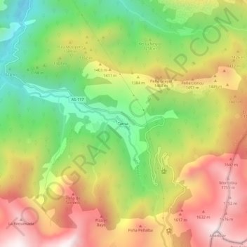
Name: Tarna topographic map, elevation, terrain.
Location: Tarna, Asturias, España (43.09011 -5.24732 43.13011 -5.20732)
Average elevation: 1,287 m
Minimum elevation: 787 m
Maximum elevation: 1,816 m