
Gotenba topographic map
Interactive map
Click on the map to display elevation.
About this map
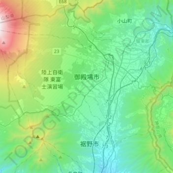
Name: Gotenba topographic map, elevation, terrain.
Location: Gotenba, Shizuoka Prefecture, Japan (35.21482 138.73169 35.36197 138.99319)
Average elevation: 792 m
Minimum elevation: 140 m
Maximum elevation: 3,054 m