
Nantou County topographic map
Interactive map
Click on the map to display elevation.
About this map
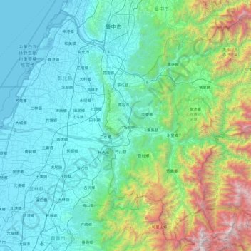
Name: Nantou County topographic map, elevation, terrain.
Location: Nantou County, Taiwan Province, TW (23.43520 120.61549 24.24588 121.34942)
Average elevation: 651 m
Minimum elevation: -2 m
Maximum elevation: 3,833 m