
Stompwijk topographic map
Interactive map
Click on the map to display elevation.
About this map
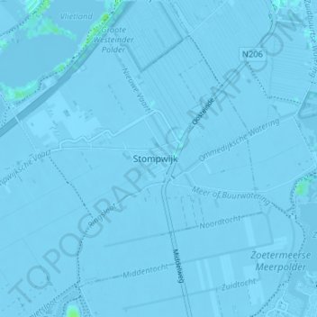
Name: Stompwijk topographic map, elevation, terrain.
Location: Stompwijk, Südholland, Niederlande, 2266, Niederlande (52.07458 4.45188 52.11458 4.49188)
Average elevation: -3 m
Minimum elevation: -7 m
Maximum elevation: 6 m