
Bradenton topographic map
Interactive map
Click on the map to display elevation.
About this map
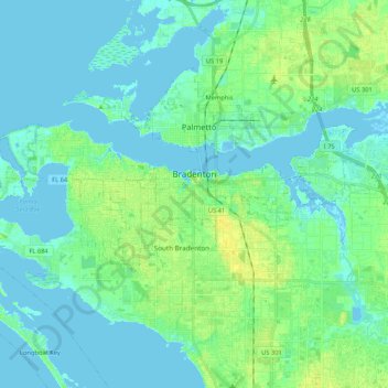
Name: Bradenton topographic map, elevation, terrain.
Location: Bradenton, Manatee County, Florida, United States of America (27.45516 -82.69069 27.52296 -82.47943)
Average elevation: 5 m
Minimum elevation: -5 m
Maximum elevation: 17 m