
Isluga topographic map
Interactive map
Click on the map to display elevation.
About this map
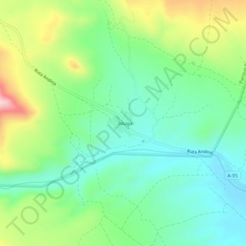
Name: Isluga topographic map, elevation, terrain.
Location: Isluga, Provincia del Tamarugal, Región de Tarapacá, Chile (-19.27088 -68.74270 -19.23088 -68.70270)
Average elevation: 3,849 m
Minimum elevation: 3,756 m
Maximum elevation: 4,041 m