
Lansingerland topographic map
Interactive map
Click on the map to display elevation.
About this map
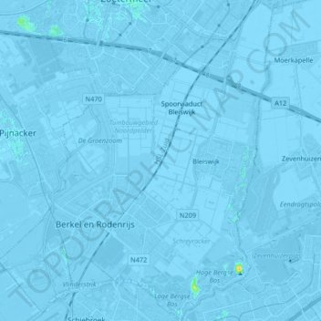
Name: Lansingerland topographic map, elevation, terrain.
Location: Lansingerland, Südholland, Niederlande (51.96029 4.42422 52.06174 4.56520)
Average elevation: -3 m
Minimum elevation: -9 m
Maximum elevation: 21 m
Other topographic maps
Click on a map to view its topography, its elevation and its terrain.
Berkel en Rodenrijs
Niederlande > Südholland > Lansingerland
Berkel en Rodenrijs, Lansingerland, Südholland, Niederlande
Average elevation: -3 m