
1400 topographic map
Interactive map
Click on the map to display elevation.
About this map
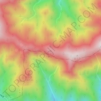
Name: 1400 topographic map, elevation, terrain.
Location: 1400, Yangyang, Gangwon, Corée du Sud (38.11084 128.41989 38.11094 128.41999)
Average elevation: 1,146 m
Minimum elevation: 778 m
Maximum elevation: 1,434 m