
Bassar topographic map
Interactive map
Click on the map to display elevation.
About this map
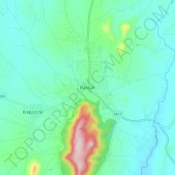
Name: Bassar topographic map, elevation, terrain.
Location: Bassar, Kara Region, Togo (9.22204 0.73903 9.30204 0.81903)
Average elevation: 312 m
Minimum elevation: 220 m
Maximum elevation: 694 m