
Dawkins topographic map
Interactive map
Click on the map to display elevation.
About this map
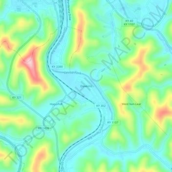
Name: Dawkins topographic map, elevation, terrain.
Location: Dawkins, Johnson County, Kentucky, 41268, USA (37.77037 -82.80460 37.81037 -82.76460)
Average elevation: 238 m
Minimum elevation: 175 m
Maximum elevation: 399 m