
Al Abyad topographic map
Interactive map
Click on the map to display elevation.
About this map
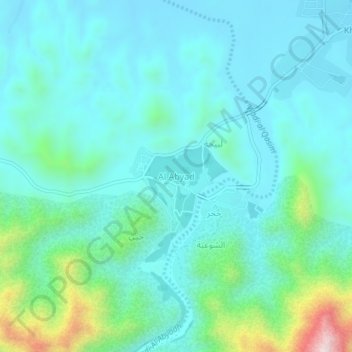
Name: Al Abyad topographic map, elevation, terrain.
Location: Al Abyad, Al Batinah South, Oman (23.44689 57.64499 23.48689 57.68499)
Average elevation: 278 m
Minimum elevation: 174 m
Maximum elevation: 748 m