
Summer Lake topographic map
Interactive map
Click on the map to display elevation.
About this map
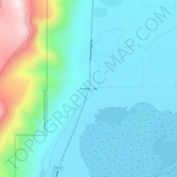
Name: Summer Lake topographic map, elevation, terrain.
Location: Summer Lake, Lake County, Oregon, USA (42.95271 -120.79813 42.99271 -120.75813)
Average elevation: 1,406 m
Minimum elevation: 1,263 m
Maximum elevation: 2,033 m