
State College topographic map
Interactive map
Click on the map to display elevation.
About this map
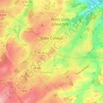
Name: State College topographic map, elevation, terrain.
Location: State College, Centre County, Pennsylvania, USA (40.76837 -77.88617 40.80725 -77.81900)
Average elevation: 351 m
Minimum elevation: 286 m
Maximum elevation: 398 m