
Fayette County topographic map
Interactive map
Click on the map to display elevation.
About this map
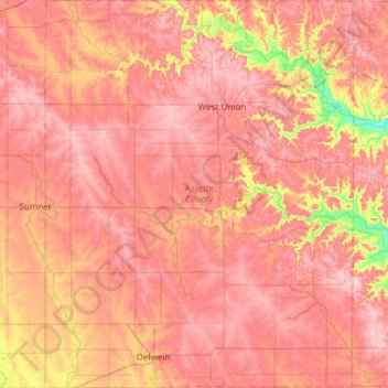
Name: Fayette County topographic map, elevation, terrain.
Location: Fayette County, Iowa, USA (42.64183 -92.08197 43.08262 -91.60402)
Average elevation: 335 m
Minimum elevation: 237 m
Maximum elevation: 386 m
Other topographic maps
Click on a map to view its topography, its elevation and its terrain.