
Peggau topographic map
Interactive map
Click on the map to display elevation.
About this map
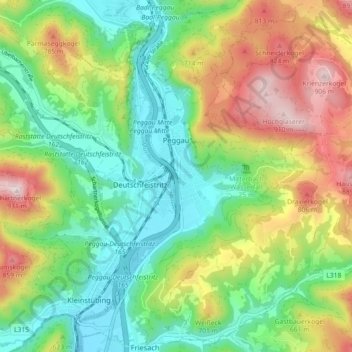
Name: Peggau topographic map, elevation, terrain.
Location: Peggau, Graz-Umgebung, Steiermark, 8120, Österreich (47.17008 15.31989 47.23108 15.37826)
Average elevation: 583 m
Minimum elevation: 384 m
Maximum elevation: 925 m