
Sukaraja topographic map
Interactive map
Click on the map to display elevation.
About this map
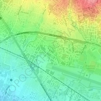
Name: Sukaraja topographic map, elevation, terrain.
Location: Sukaraja, Cicendo, Bandung, West Java, 40175, Indonesia (-6.89775 107.55644 -6.88808 107.57621)
Average elevation: 753 m
Minimum elevation: 714 m
Maximum elevation: 810 m