
Kel. Penajam topographic map
Interactive map
Click on the map to display elevation.
About this map
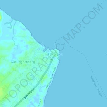
Name: Kel. Penajam topographic map, elevation, terrain.
Location: Kel. Penajam, East Kalimantan, 76141, Indonesia (-1.26485 116.75596 -1.22485 116.79596)
Average elevation: 1 m
Minimum elevation: -3 m
Maximum elevation: 15 m