
Pakulonan Barat topographic map
Interactive map
Click on the map to display elevation.
About this map
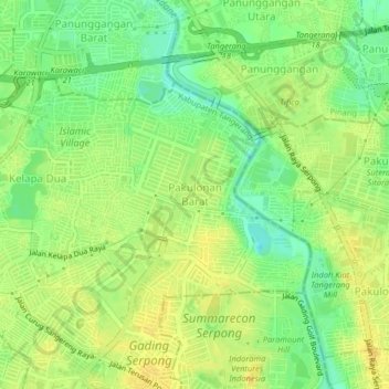
Name: Pakulonan Barat topographic map, elevation, terrain.
Location: Pakulonan Barat, Tangerang Regency, Banten, 15810, Indonesia (-6.25710 106.61254 -6.21710 106.65254)
Average elevation: 25 m
Minimum elevation: 10 m
Maximum elevation: 35 m