
Kangerlussuaq topographic map
Interactive map
Click on the map to display elevation.
About this map
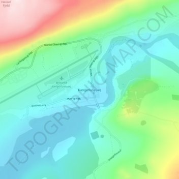
Name: Kangerlussuaq topographic map, elevation, terrain.
Location: Kangerlussuaq, Qeqqata, Greenland (66.98996 -50.71223 67.02996 -50.67223)
Average elevation: 121 m
Minimum elevation: 2 m
Maximum elevation: 464 m