
Gua Musang topographic map
Interactive map
Click on the map to display elevation.
About this map
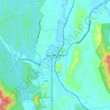
Name: Gua Musang topographic map, elevation, terrain.
Location: Gua Musang, Kelantan, 18300, Malaysia (4.83927 101.92523 4.91927 102.00523)
Average elevation: 144 m
Minimum elevation: 77 m
Maximum elevation: 577 m
Other topographic maps
Click on a map to view its topography, its elevation and its terrain.