
Allentsteig topographic map
Interactive map
Click on the map to display elevation.
About this map
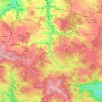
Name: Allentsteig topographic map, elevation, terrain.
Location: Allentsteig, Bezirk Zwettl, Lower Austria, 3804, Austria (48.63851 15.24532 48.73863 15.42875)
Average elevation: 568 m
Minimum elevation: 474 m
Maximum elevation: 627 m