
Tims Ford Lake topographic map
Interactive map
Click on the map to display elevation.
About this map
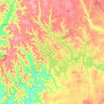
Name: Tims Ford Lake topographic map, elevation, terrain.
Average elevation: 292 m
Minimum elevation: 214 m
Maximum elevation: 349 m
Other topographic maps
Click on a map to view its topography, its elevation and its terrain.
Tims Ford
USA > Tennessee > Beech Hill
Tims Ford, Beech Hill, Franklin County, Tennessee, USA
Average elevation: 275 m