
Dundas Valley Conservation Area topographic map
Interactive map
Click on the map to display elevation.
About this map
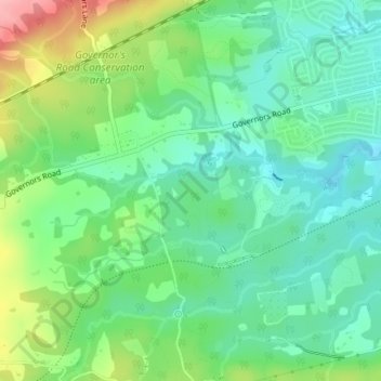
Name: Dundas Valley Conservation Area topographic map, elevation, terrain.
Average elevation: 161 m
Minimum elevation: 118 m
Maximum elevation: 251 m
Other topographic maps
Click on a map to view its topography, its elevation and its terrain.
West Flamborough
Canada > Ontario > Hamilton > Greensville > West Flamborough
West Flamborough, Greensville, Hamilton, Golden Horseshoe, Ontario, L9H 7P6, Canada
Average elevation: 227 m