
Padang Besar topographic map
Interactive map
Click on the map to display elevation.
About this map
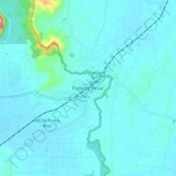
Name: Padang Besar topographic map, elevation, terrain.
Location: Padang Besar, Perlis, Malaysia (6.61988 100.27646 6.69988 100.35646)
Average elevation: 73 m
Minimum elevation: 37 m
Maximum elevation: 476 m