
Edgeworthstown topographic map
Interactive map
Click on the map to display elevation.
About this map
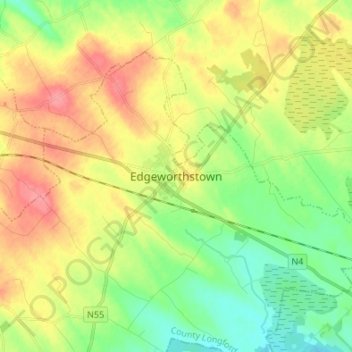
Name: Edgeworthstown topographic map, elevation, terrain.
Location: Edgeworthstown, County Longford, Leinster, Ireland (53.65667 -7.64972 53.73667 -7.56972)
Average elevation: 95 m
Minimum elevation: 61 m
Maximum elevation: 138 m