
English Gardens topographic map
Interactive map
Click on the map to display elevation.
About this map
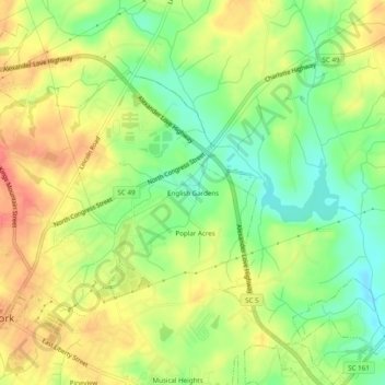
Name: English Gardens topographic map, elevation, terrain.
Location: English Gardens, York County, South Carolina, 29745, USA (34.98708 -81.23813 35.02708 -81.19813)
Average elevation: 214 m
Minimum elevation: 185 m
Maximum elevation: 240 m