
Kaministiquia River topographic map
Interactive map
Click on the map to display elevation.
About this map
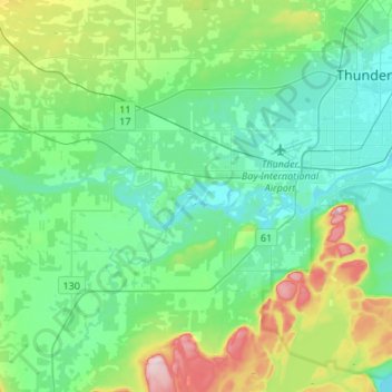
Name: Kaministiquia River topographic map, elevation, terrain.
Average elevation: 249 m
Minimum elevation: 177 m
Maximum elevation: 488 m
Other topographic maps
Click on a map to view its topography, its elevation and its terrain.
Neebing River
Canada > Ontario > Thunder Bay
Neebing River, Thunder Bay, Thunder Bay District, Ontario, P7K 1A7, Canada
Average elevation: 197 m