
Pangkor Island topographic map
Interactive map
Click on the map to display elevation.
About this map
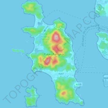
Name: Pangkor Island topographic map, elevation, terrain.
Location: Pangkor Island, Perak, 32300, Malaysia (4.18653 100.52015 4.26653 100.60015)
Average elevation: 25 m
Minimum elevation: -3 m
Maximum elevation: 357 m