
Nineveh topographic map
Interactive map
Click on the map to display elevation.
About this map
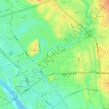
Name: Nineveh topographic map, elevation, terrain.
Average elevation: 227 m
Minimum elevation: 209 m
Maximum elevation: 251 m
Other topographic maps
Click on a map to view its topography, its elevation and its terrain.
Citadel of Nineveh
Citadel of Nineveh, زقاق 15, حي الزراعي, Mosul, Al Mnsul Qadha, Nineveh, 763556, Iraq
Average elevation: 224 m