
Clinton topographic map
Interactive map
Click on the map to display elevation.
About this map
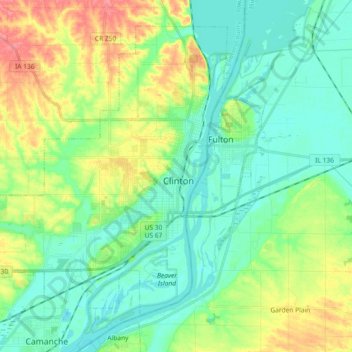
Name: Clinton topographic map, elevation, terrain.
Location: Clinton, Clinton County, Iowa, United States of America (41.79379 -90.34516 41.91017 -90.16233)
Average elevation: 197 m
Minimum elevation: 172 m
Maximum elevation: 254 m