
Oklahoma County topographic map
Interactive map
Click on the map to display elevation.
About this map
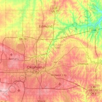
Name: Oklahoma County topographic map, elevation, terrain.
Location: Oklahoma County, Oklahoma, United States of America (35.37688 -97.67402 35.72598 -97.14104)
Average elevation: 354 m
Minimum elevation: 269 m
Maximum elevation: 432 m