
Hutan Melintang topographic map
Interactive map
Click on the map to display elevation.
About this map
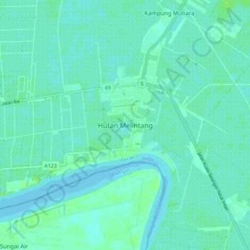
Name: Hutan Melintang topographic map, elevation, terrain.
Location: Hutan Melintang, Bagan Datuk, Perak, 36400, Malaysia (3.84233 100.89234 3.92233 100.97234)
Average elevation: 3 m
Minimum elevation: 0 m
Maximum elevation: 10 m