
Kanthan topographic map
Interactive map
Click on the map to display elevation.
About this map
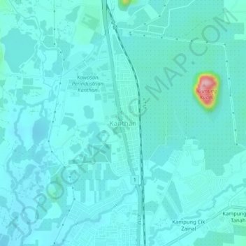
Name: Kanthan topographic map, elevation, terrain.
Location: Kanthan, Kinta, Perak, 31200, Malaysia (4.72097 101.09875 4.76097 101.13875)
Average elevation: 84 m
Minimum elevation: 63 m
Maximum elevation: 253 m